Field Report No. 03
The Dolomites South Tyrol, Italy
The Odle spires rise straight out of green meadow until it stops looking real. We hiked, ate at farm huts, swam a warm-ish lake, and rowed a wooden boat on Lago di Braies.
Field Report
No. 03
The Dolomites South Tyrol, Italy
Worth the flight.
- Coordinates
- 46.5667° N, 11.5594° E
- Traveled
- Mid-June
- Kid-readiness
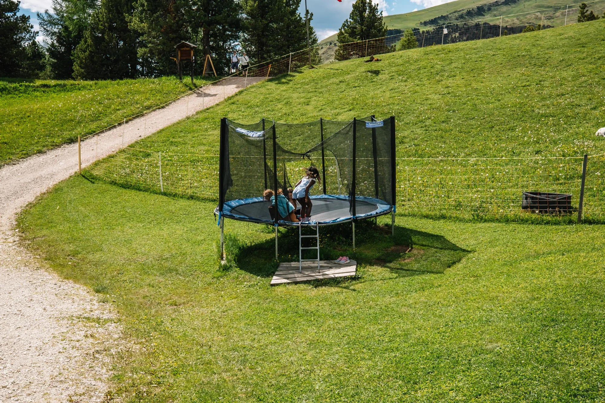
- Exceptional. Nearly every mountain hut has a playground, farm animals, or both — and the lifts do all the climbing.
- Where we stayed
- Spa Resort Hotel Albion above Castelrotto, the Schlern massif out the window. Half-board, so dinner is handled. Five nights.
- The non-negotiable
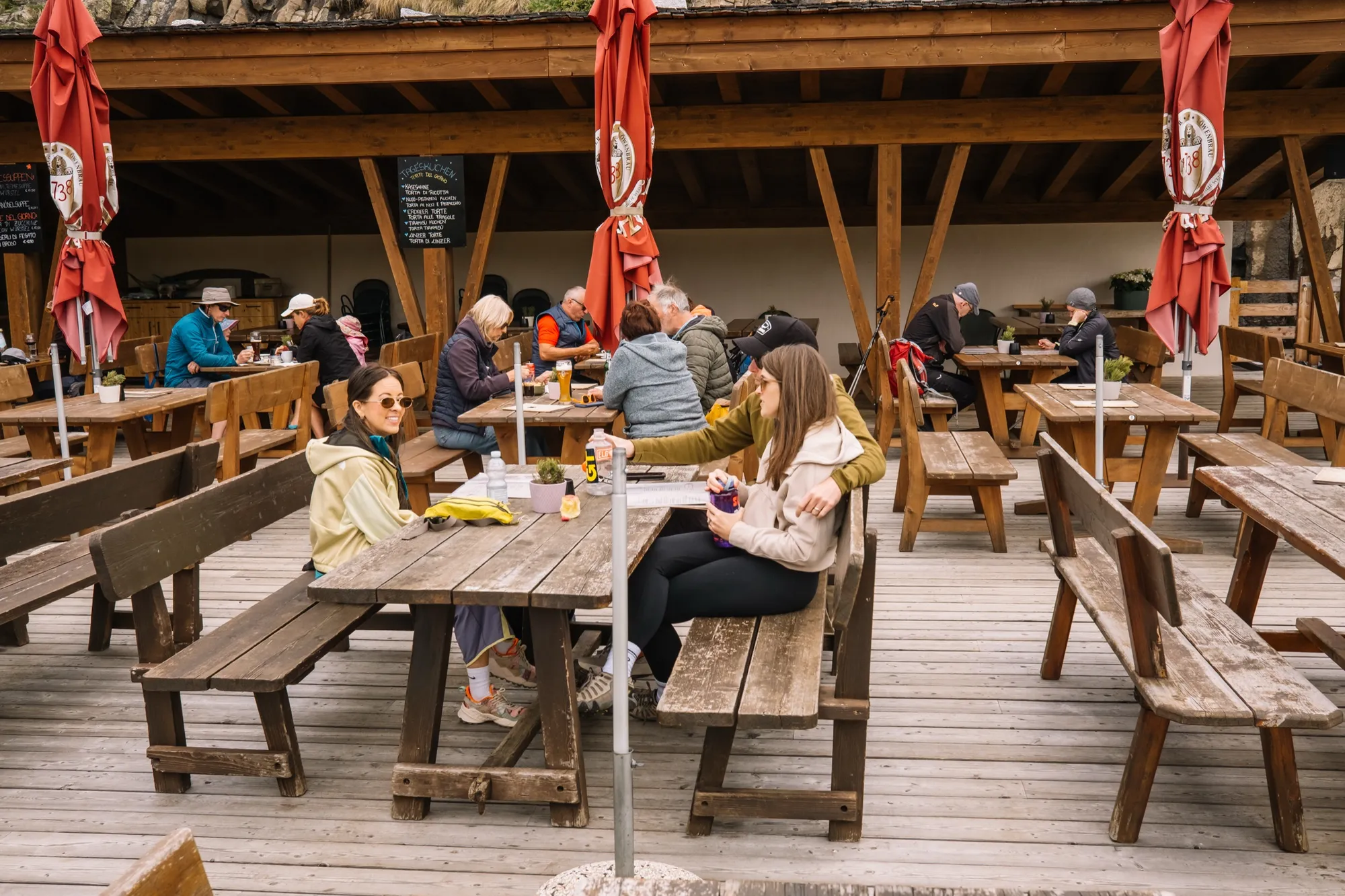
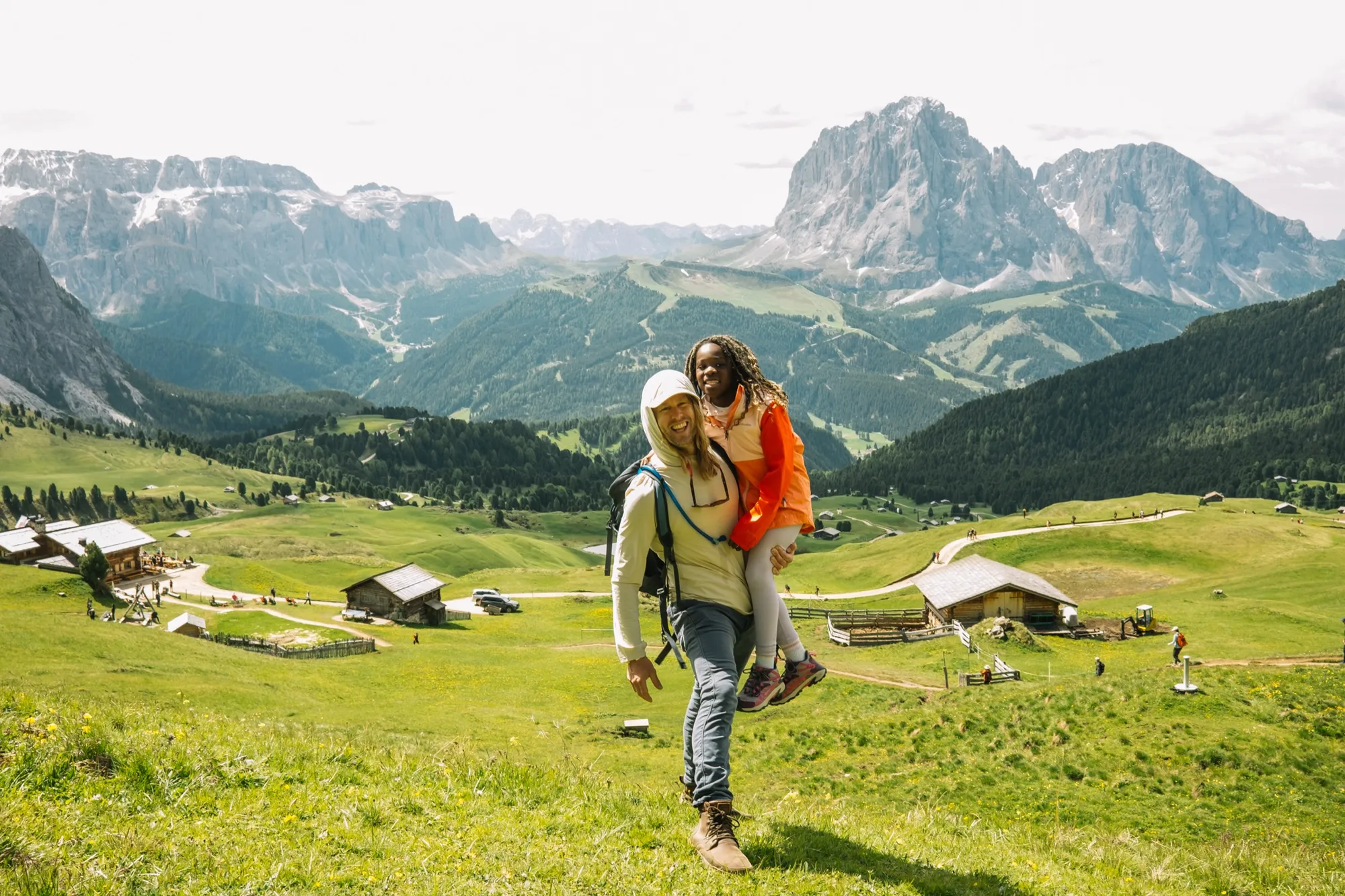
- Col Raiser — gondola up from Santa Cristina, an easy meadow walk to the 1888 Rifugio Firenze for lunch facing the Odle peaks. Same view as Seceda, a fraction of the crowd.
- What we'd skip
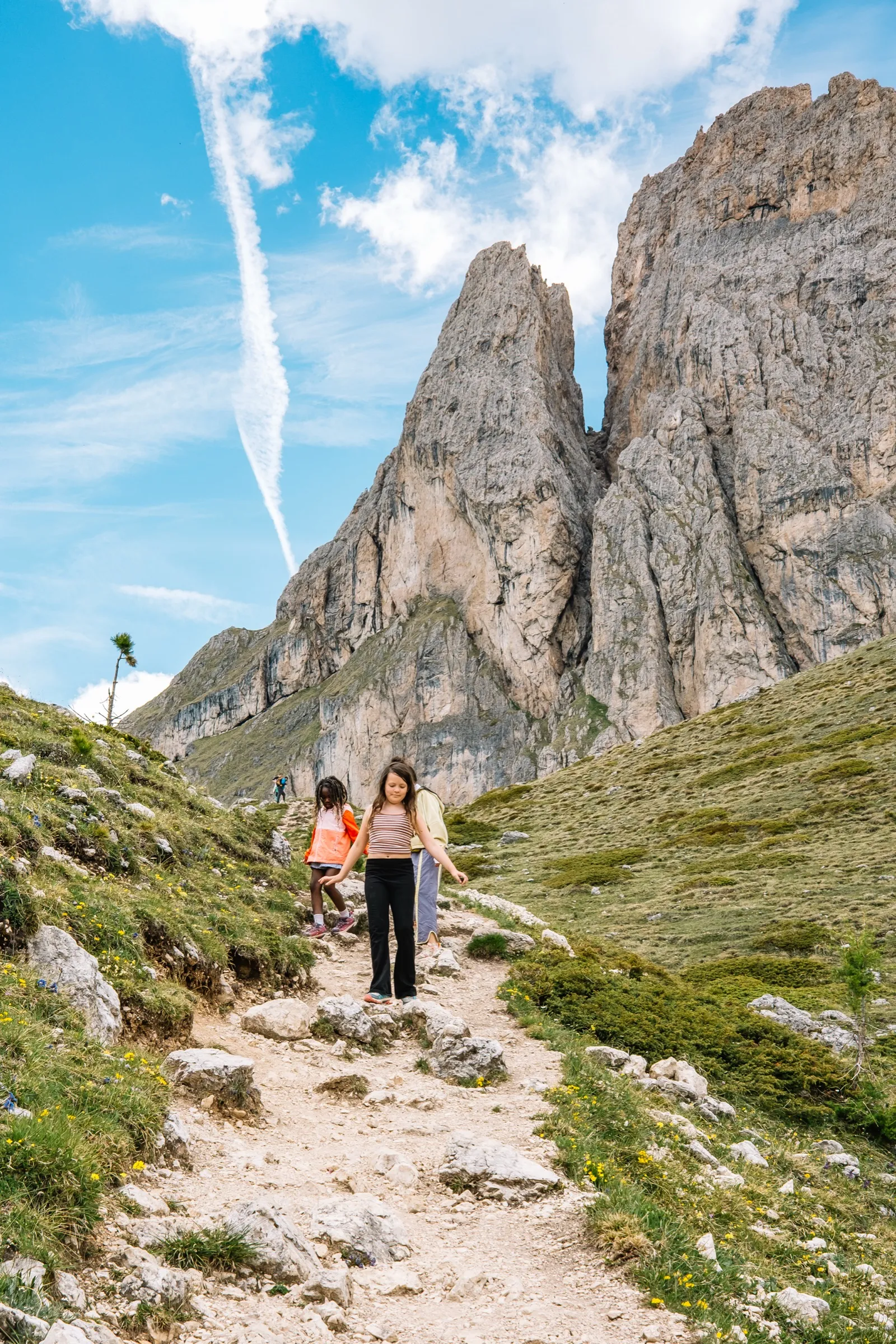
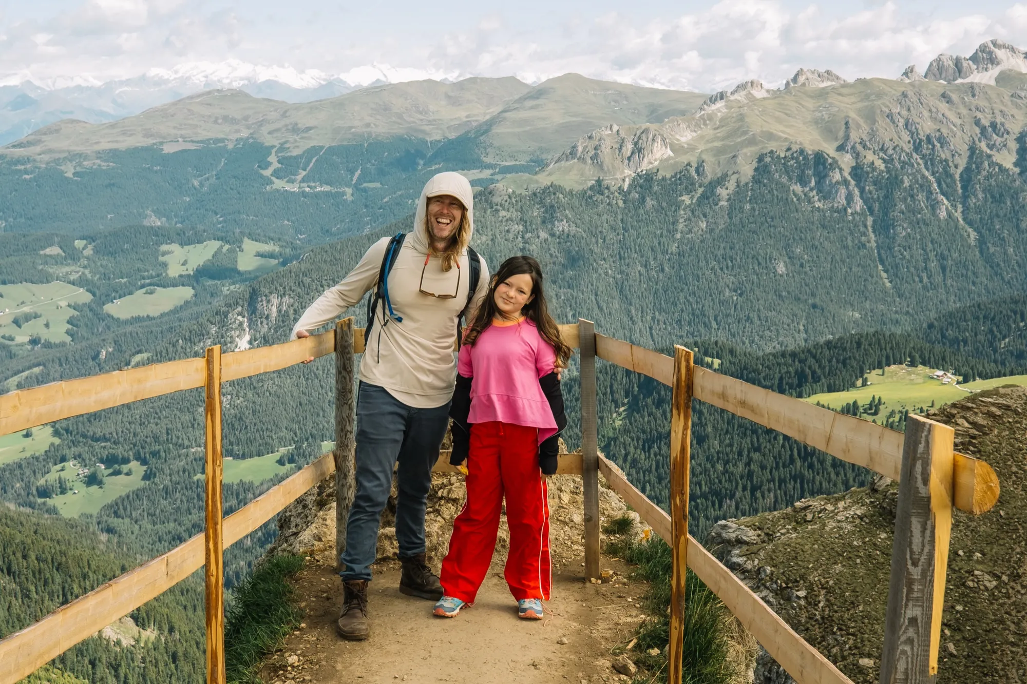
- Hitting Seceda's ridge after 10:30 — by then the summit is packed. Take the first car at 8:30.
- Best season
- Mid-June — wildflowers erupt on Alpe di Siusi. Watch the afternoon thunderstorms; start hikes by 9:30.
- Points & hacking
- About a 3-hour drive from Milan (A4 → A22 Brennero). The last 20 minutes from Bolzano is winding mountain road.
 46.5667° N, 11.5594° E
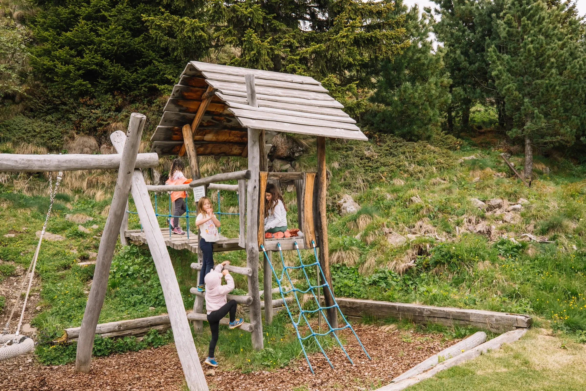
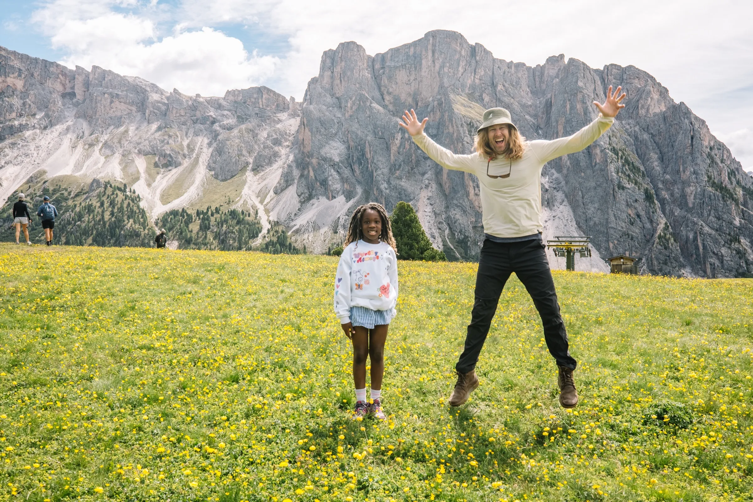
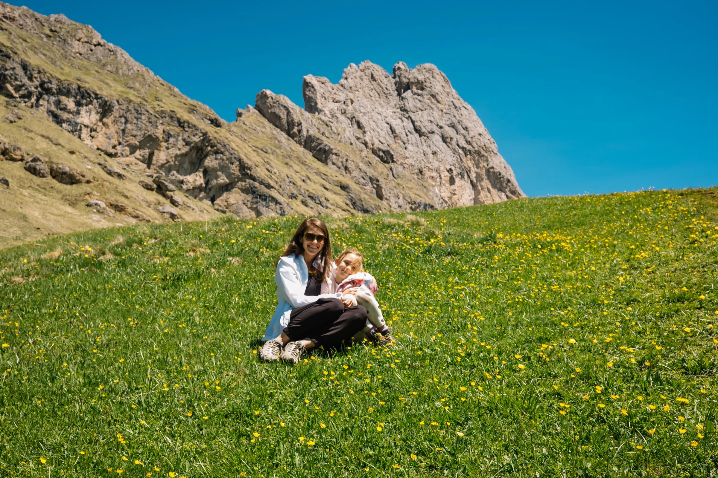
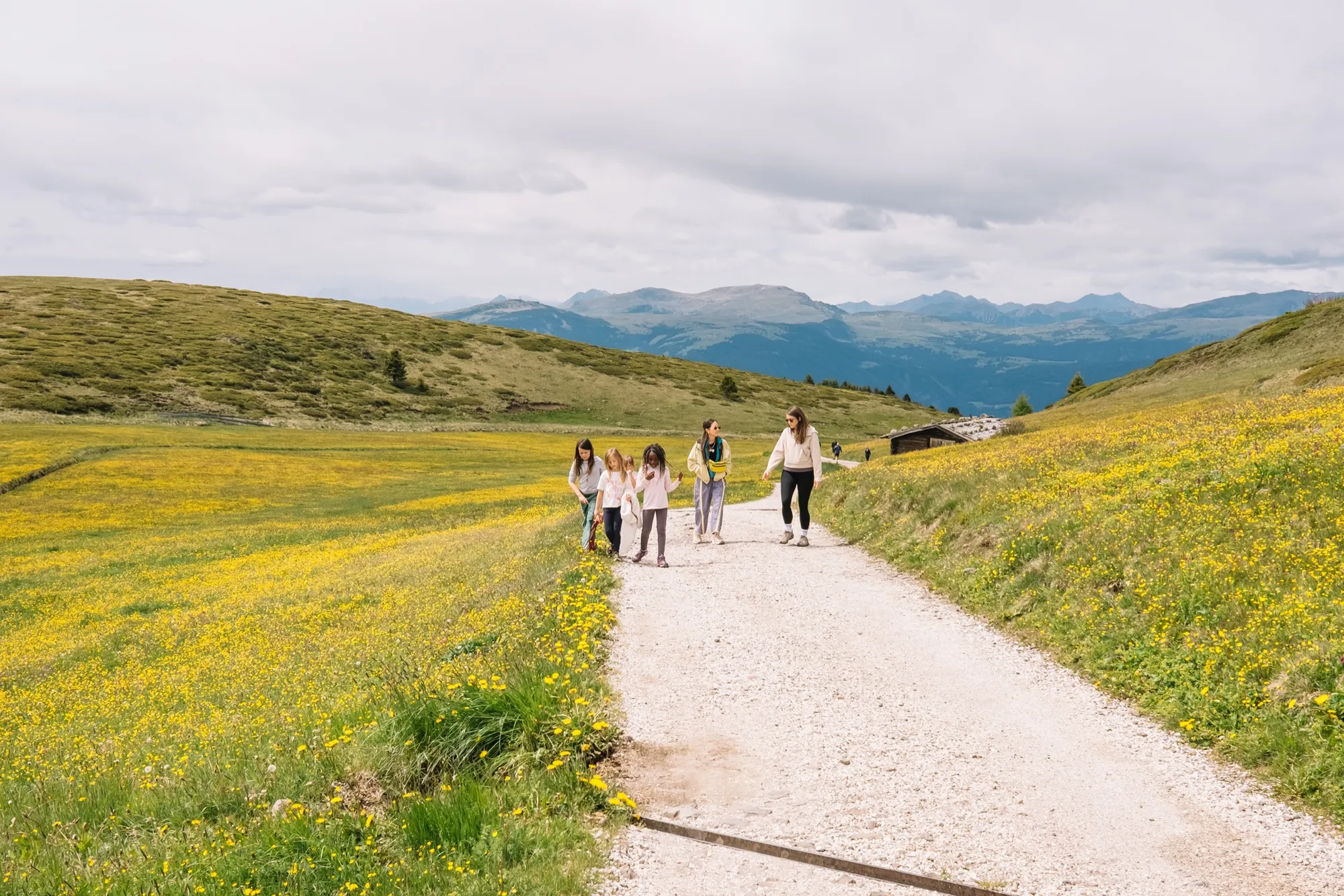
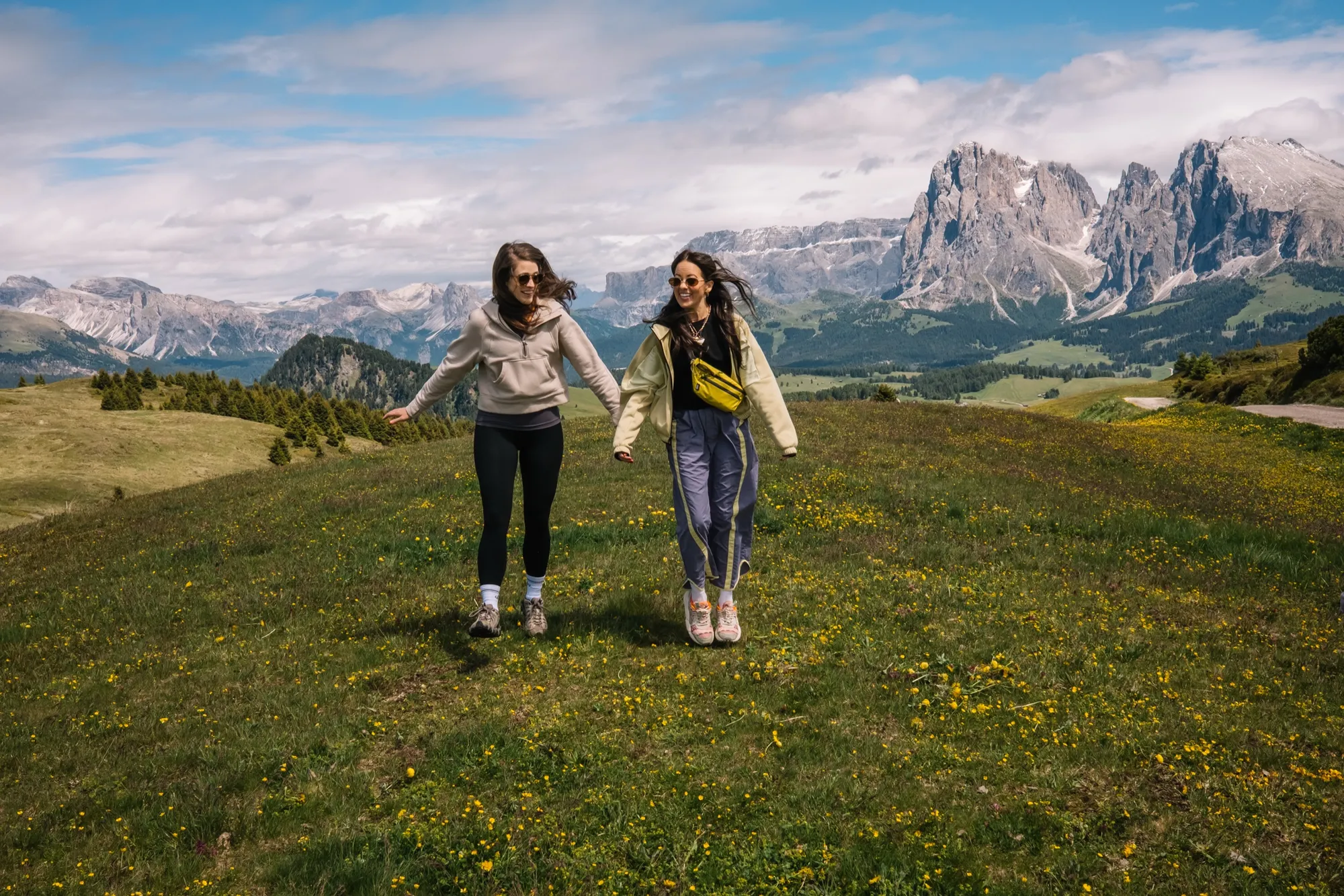
The Dolomites are the trip that recalibrates what mountains are supposed to look like. The Odle spires rise straight out of rolling green meadow until it stops reading as real. And it’s the most kid-feasible mountain range we’ve found — the gondolas do the climbing, and every hut at the top has a playground or a pen of goats and rabbits the girls disappear into.
Gondola up Col Raiser, the gentle walk down to Rifugio Firenze for lunch in front of the peaks, then back up top to turn the kids loose.
The day we’d tell you to copy: gondola up Col Raiser, the gentle walk down to Rifugio Firenze for lunch in front of the peaks, then back up top to turn the kids loose. We swam a warm-ish alpine lake (Laghetto di Fiè), rowed a wooden boat on Lago di Braies (go before 10:30, before the crowds), and timed dinner at Pizzeria Bachler for the enrosadira — the alpenglow that turns the rock pink around nine.
 46.5667° N, 11.5594° E
Two more we’d never skip: the Witches’ Trail across Alpe di Siusi — Europe’s largest high-alpine meadow — ending at Gostner Schwaige, a working dairy hut whose hay-flower soup with truffle is worth the walk on its own. And the Seceda ridge, where the Odle spires line up for the photo everyone’s seen; take the first cable car at 8:30, before the summit packs.
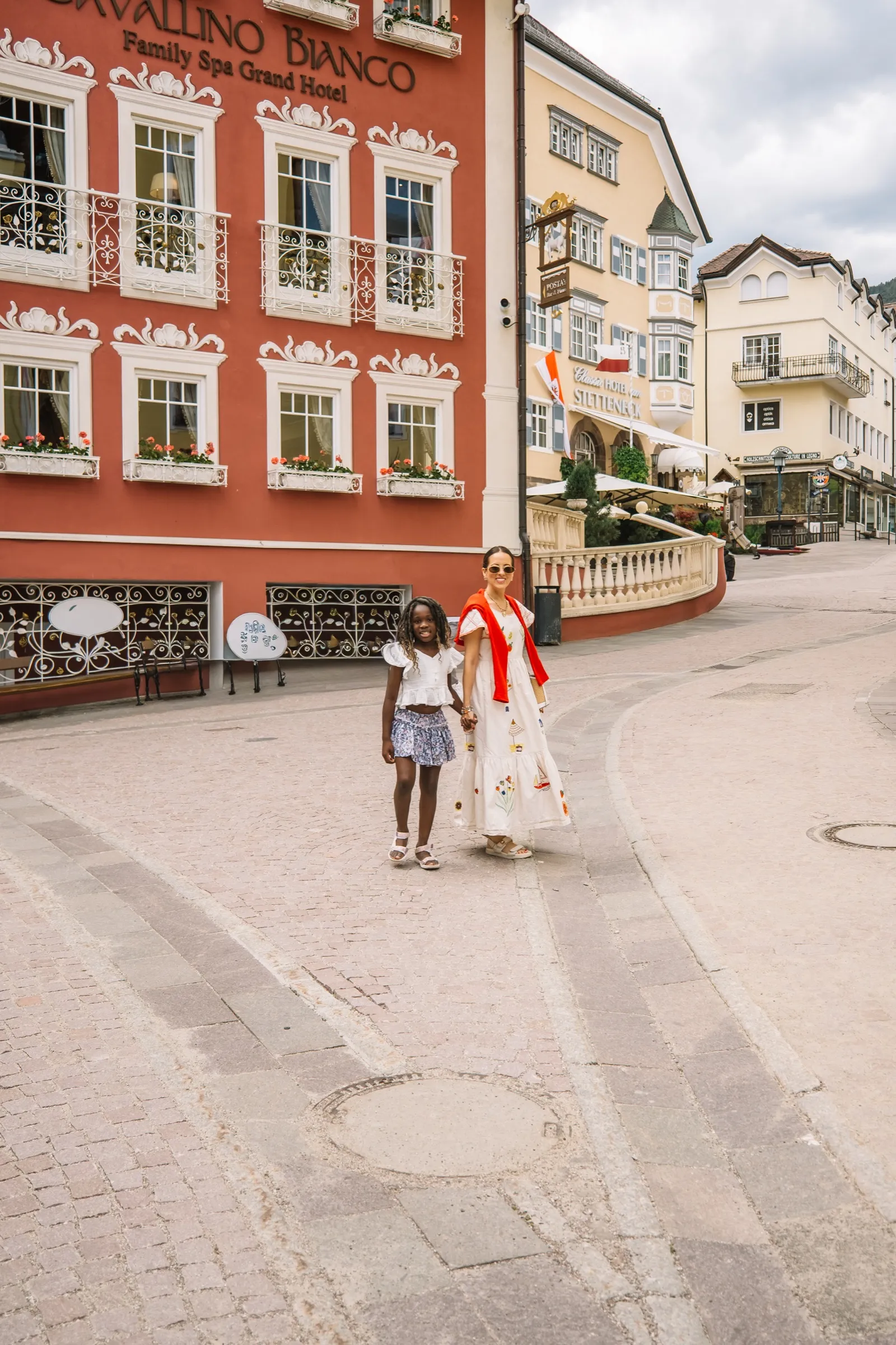
The standout dinner was Ristorante Tubladel in Ortisei; reserve a week or two out. Up here the signs are German first — follow the German trail names and you won’t get lost.
More places, scored the same way.
Browse all field reports